THE DREDGING SECTOR
DREDGING PROBLEMATICS
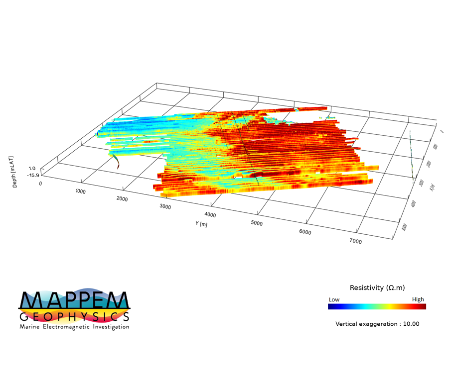
Marine Dredging requires a good knowledge of the nature of the marine subsurface in order to identify suitable geology, particularly the presence of sand in suitable areas and avoid rocks or potentially dangerous buried objects (UXO…).
The advantages of resistivity imaging to dredging
- Resistivity gives very useful information to built soil models, independently or together with other data (seismics, geotechnics), even in very shallow waters. For example, being sensitive to porosity, resistivity can give direct information on the dredging potential of materials.
- Locating sand and distinguish it from rocky areas to optimize the survey time and the quantity of sand located.
- Facilitating the dredging design by identifying potential boulders and superficial rocks.
- Securing the dredging site with the detection of buried objects (UXO or debris, cables, etc.).
Our systems adapted to dredging
Our active systems are particularly well suited to the problems of dredging:
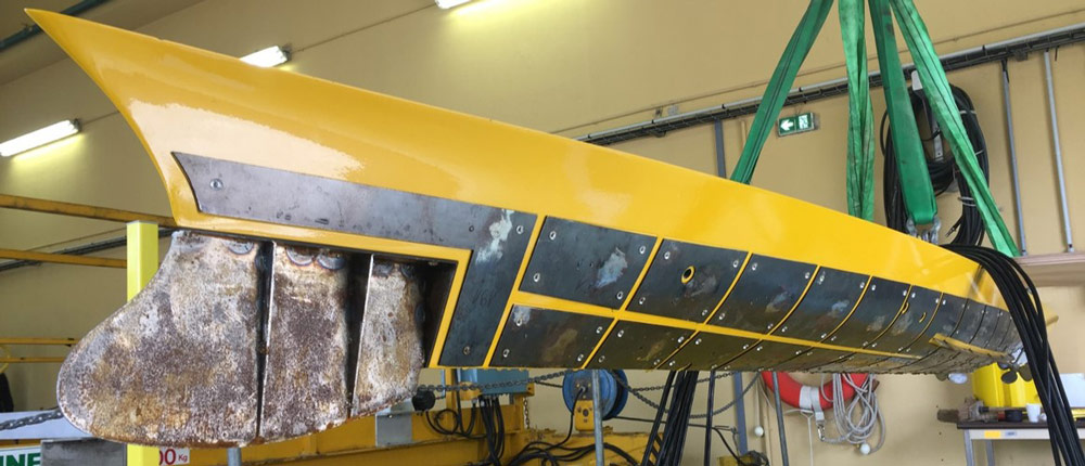
- The MAPPEM system to image geological features
- The MAPPEM-S system to investigate very shallow waters.
- The MAPPEM-3D system for buried object detection.
THE Renewable Energy SECTOR
PROBLEMATICS OF MARINE RENEWABLE ENERGIES (MRE)
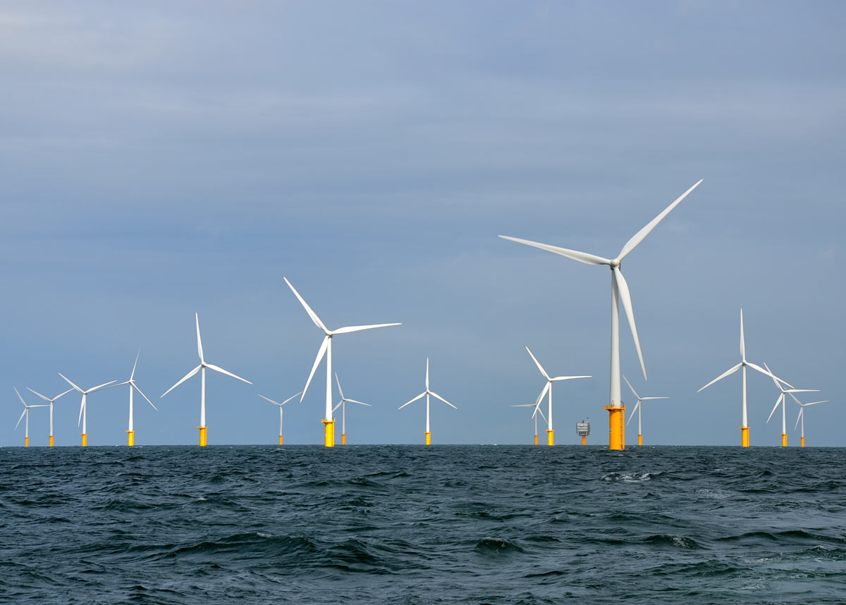
The rapid development of marine renewable energies in Europe over the last years has created a considerable need for knowledge of the marine subsurface off the European coasts. The development of an offshore wind farm requires a control of the risks related to the type of the encountered geology or buried objects (obstructions, UXO, liquefaction or karstification phenomena…). Also, electromagnetic measurements provide precious information on the possible impact of power generators on the environment. The main issues related to the study of the subsurface for MRE are therefore:
- Reducing the geological risks of the projects regarding the subsurface conditions (nature, geometry, heterogeneity) and mechanical properties, in order to position the infrastructures, to properly design the foundations, and design cable routes and groundings.
- Securing the site by detecting obstructions and buried objects (UXO…).
- Providing electromagnetic measurements to assess the impact on the environment.
Applications of marine electromagnetics to MRE projects
- Facilitating the decisions regarding the locations of the infrastructures by providing geophysical information (nature, heterogeneity).
- Guiding the geotechnical campaign by optimizing borehole locations and requirements.
- Securing the sites by detecting UXOs, ferrous and non-ferrous.
- Locating obstructions (boulders, rocks, buried wrecks…)
- Once built, assessing the impact of MRE structures on the environment by measuring the emitted electromagnetic fields.
Our systems adapted to the MRE
Our active systems are particularly well suited to MRE issues:
- The MAPPEM system for geology imaging and buried object detection
- The MAPPEM-S system to work in very shallow waters
- The MAPPEM-3D system for object detection
- The PASSEM system for mobile passive measurement of electromagnetic fields
- The STATEM system for seafloor measurement of electromagnetic fields
THE PIPELINES & CABLES SECTOR
PROBLEMATICS OF CABLES AND PIPELINES
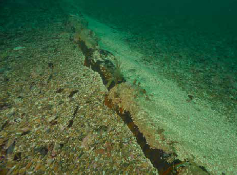
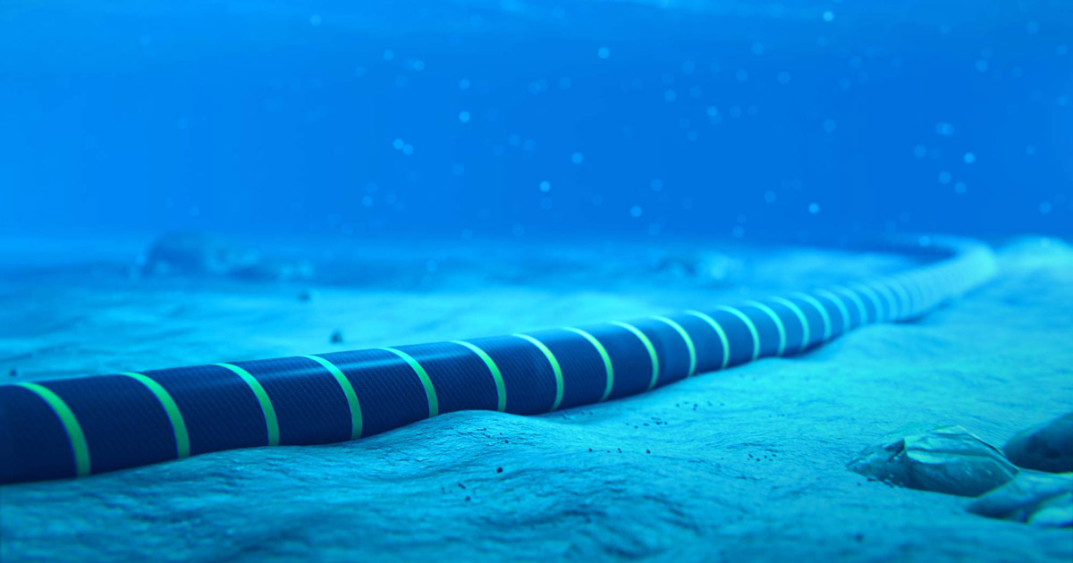
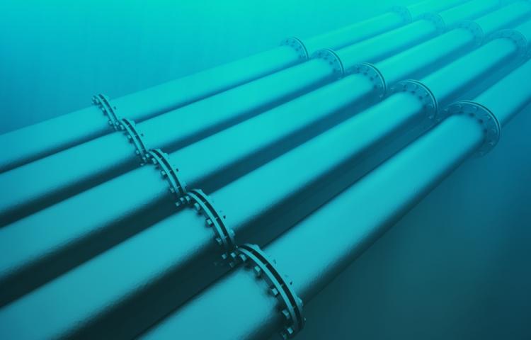
The laying of submarine telecommunication cables, energy transmission cables (MRE) or pipelines requires a good knowledge of the nature of the marine subsurface in order to lay them in favorable areas and avoid potentially dangerous rocks or buried objects (UXO, etc.).
During the operation phase, the cables are likely to move or become unprotected under the effect of gradual or sudden sand movements. It is then necessary to monitor their position for verification and maintenance.
Applications of electromagnetics to cables and pipelines
- Provide key geophysical information for cable route and grounding, even in very shallow waters. Resistivity providing direct information about dredging potential and rippability of the materials.
- Facilitating the laying operations by providing geophysical imaging identifying potential obstructions and geohazards (surface rocks, wrecks, etc.)
- Securing the cable or pipeline installation site with prior UXO detection
- Monitoring cables and pipelines during their operational phase
- Guiding the geotechnical campaign (in-situ tests, drilling, coring)
- Once built, studying the impact of the power cables on the environment by measuring electromagnetic fields
Our systems for cables and pipelines
Our active systems are particularly well suited to the problems of cables and pipelines:
- The MAPPEM system for locating cables and pipelines or carrying out the preliminary geological study for their burial
- The MAPPEM-S system for the same purposes, in very shallow waters
- The MAPPEM-3D system for cable and pipeline detection
- The PASSEM system for the study of their electromagnetic signature by passive measurement
- The STATEM system for the study of their electromagnetic signature by passive measurement
THE UXO SECTOR
PROBLEMATICS OF UNEXPLODED ORDNANCE DETECTION
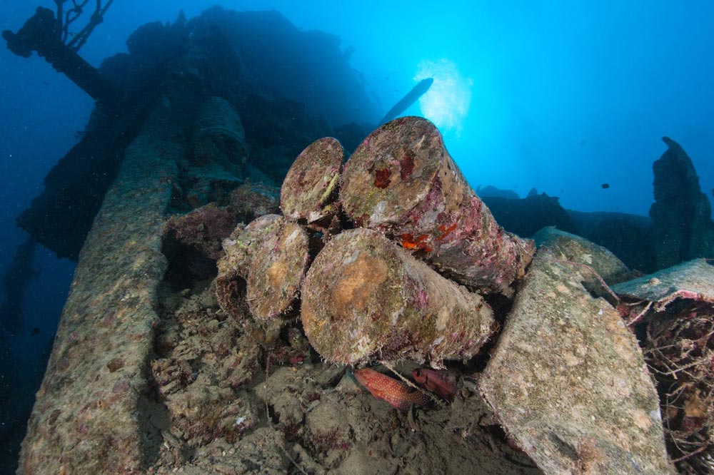
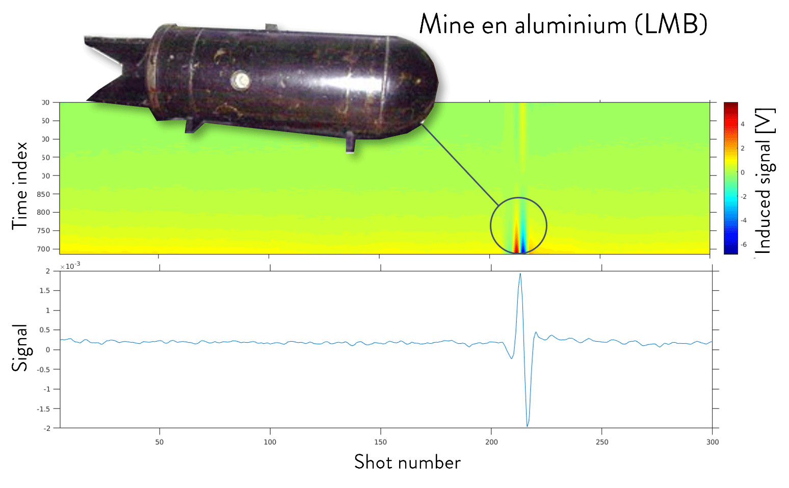
Whether for port and coastal development, wind farm installation or any other offshore engineering project, a critical step in site investigation is the derisking phase. UXOs left over from the Second World War are unfortunately abundant in the English Channel and North Sea. It is therefore necessary to detect them before any work on the seabed. Moreover, some of these mines are made of aluminum (for example the LMB mines) and are almost impossible to detect with conventional magnetic or acoustic techniques.
Applications of electromagnetics to UXO detection
- Localizing all buried objects that may be an UXO, including non-ferrous LMB aluminum mines/
- Securing coastal work sites, whatever the field (MRE, port development…)
Our systems for UXO detection
MAPPEM Geophysics has developed specific object detection systems that are sensitive to ferrous and non-ferrous objects (aluminum mines or LMB mines). Our active systems are therefore particularly well suited to the UXO detection:
- The MAPPEM-3D system.
- The MAPPEM-S system for projects in very shallow waters
- The MAPPEM system.
THE DEFENSE SECTOR
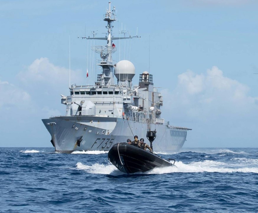
Working for the Defense industry requires innovative and state-of-the-art technologies. This sector is extremely challenging, mainly related to the complexity of the marine environment and the high requirements of the sector. From corrosion and cathodic protection to vessels discretion, MAPPEM Geophysics is working with state agencies and companies to provide new tools and instruments.
Applications of electromagnetics to Defense
- Electromagnetic fields measurements, marine electromagnetic expertise.
- Autonomous seafloor and water column instrumentation.
- Detection and localization of buried objects (MMCM)
- R&D projects.
Our systems adapted to Defense issues
Our active and passive systems and our expertise in electromagnetic are particularly well suited to Defense issues:
- The MAPPEM system for the detection of UXO and obstructions
- The STATEM system for electromagnetic measurements
- Our unique sensors and our electromagnetic know-how and expertise, which allow us to develop and carry out effective electromagnetic solutions.
New industrial projects at sea
PORT AND COASTAL DEVELOPMENT ISSUES
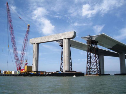
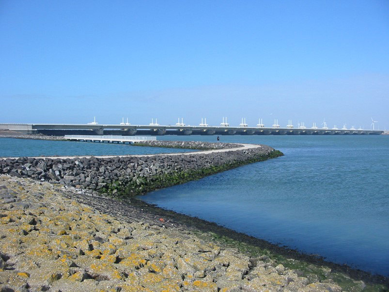
In civil engineering for port and coastal development, a complete understanding of the geology of the marine subsurface is necessary to assess its influence on the detailed design of infrastructure, and thus successfully complete each phase of a new port or coastal project (design, construction, operation).
The first step should be the securing of the site (UXO, potential obstructions) prior to the works, then the second is a detailed imaging of the nature of the subsoil on the depth of influence for the planned structures.
Port development also involves the recovery of debris that accumulate on the seabed over time, and regular monitoring of the infrastructures in place.
All of these issues can be addressed with electromagnetic imaging of the resistivity.
Applications of electromagnetics to port and coastal development
- Resistivity imaging to assess the geology and optimize geotechnical studies
- Securing construction sites of port or coastal infrastructure (polder, MRE…) by prior detection of obstructions (UXO, debris…)
- Control of infrastructures in use (cables…)
Our systems for port and coastal development
Our active systems are particularly well suited to port and coastal development issues:
- The MAPPEM system for the study of the geology of construction sites or the securing by detection of obstructions
- The MAPPEM-S system to work in very shallow waters
- The MAPPEM-3D system for buried object detection
THE GEOTHERMAL SECTOR
PROBLEMATICS OF THE GEOTHERMAL ENERGY
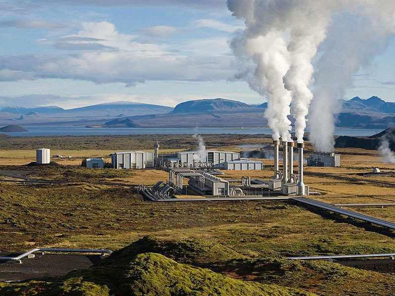
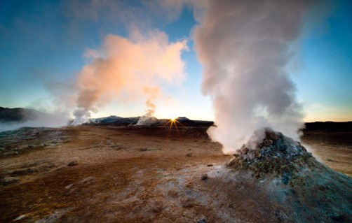
Geothermal energy is a non-intermittent renewable energy. High temperature geothermal reservoirs are mainly found in volcanic contexts. A lot of these areas are in coastal areas or in close to lakes all over the world. High temperature geothermal sources can be used to develop a sustainable decarbonized source of electricity. This decarbonized electricity is particularly important for islands or remote areas.
The development of such project requires a good knowledge of the temperatures’ distribution in the soil. This challenge can be addressed by imaging the resistivity in the area. The main method used for this is called magnetotellurics (MT).
Magnetotellurics are widely used because this technique allows to image the subsurface from a few tens of meters to several kilometers deep and does not require an active source.
However, in coastal areas, land MT and other methods are not sufficient and an extension of measurements at sea is necessary. MAPPEM Geophysics and its partner IMAGIR are developing new instruments and methods to overcome the challenges to image the resistivity from the sea to the shore.
THE OIL & GAS and DEEP SEA SECTOR
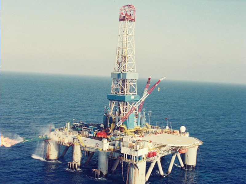
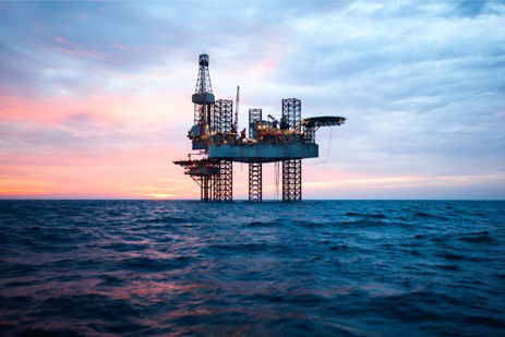
A good knowledge of the subseabed is necessary to ensure the safe and sustainable location of infrastructures and platforms. The routing of hydrocarbons must also be carried out in such a way that it guarantees a good longevity of the pipelines and a follow-up of their position in spite of the possible displacements and modifications of the superficial sedimentary layers under the action of currents and other events. These issues can be addressed by resistivity imaging, which is capable of both describing the geology prior to the positioning of platforms and pipelines, and monitoring the pipelines during the well operation phase.
Applications of electromagnetics to Oil & Gas
- Imaging the geology prior to infrastructure, cable and pipeline installations
- Pipeline monitoring during the well operation phase
Our systems for Oil & Gas
Our active systems are particularly well suited to the Oil & Gas industry:
- The MAPPEM system for geology imaging and the detection of obstructions or buried pipelines
- The MAPPEM-3D system for pipelines detection

